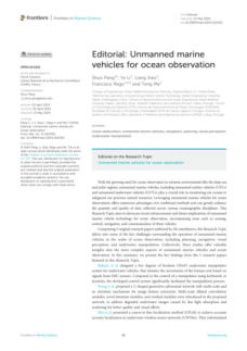
Underwater mapping 2024 - Now


Authors: Shuo Pang, Ye Li, Liang Xiao, Francisco Rego, &
Teng Ma
This paper intends to inform and highlight the importance
and advancements of unmanned marine vehicles (USVs
and UUVs) in ocean observation, particularly in extreme
environments like the deep sea and polar regions. It aims
to showcase recent technological advancements and
future implications in areas such as sensing, control,
navigation, and communication of these vehicles,
emphasizing their role in enhancing the quantity and
quality of oceanographic data collected.


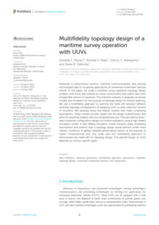
Authors: Danielle F. Morey, Randall S. Plate, Cherry Y.
Wakayama, & Zelda B. Zabinsky
This study focuses on optimizing maritime survey
operations' topology using unmanned underwater
vehicles (UUVs). It employs a multi-fidelity approach to
evaluate different configurations for assigning UUVs to
data collection sensors or locations. That involves using
both low-fidelity models, which simplify assumptions to
allow for sensitivity analysis with low computational cost,
and a high-fidelity simulation model, which provides
detailed performance metrics under more realistic
conditions.


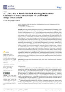
Authors: Tianchi Zhang and Yuxuan Liu
This text describes a new method for enhancing
underwater images, specifically designed for use with
Autonomous Underwater Vehicles (AUVs). It outlines the
challenges faced with current methods, such as high
computational demands and complex network structures,
and introduces a novel approach using a multi-teacher
knowledge distillation GAN (MTUW-GAN) to improve
image quality while being resource-efficient, making it
suitable for real-time deployment on AUVs. The text also
highlights the advantages of this method over existing
approaches in terms of visual quality, model parameters,
and performance.


Authors: Jiapeng Liu, Te Yu, Chao Wu, Chang Zhou,
Dihua Lu, and Qingshan Zeng
This document validates a new underwater integrated
navigation system for Autonomous Underwater Vehicles
(AUVs) that is cost-effective, lightweight, and compact
compared to traditional systems. It describes the
development and testing of this system, highlighting its
advantages in terms of precision and cost, as well as its
potential applications in both military and civilian contexts.


Authors: Rebeca Chinicz, and Roee Diamant
This paper describes a research study focused on
improving the detection capabilities of Synthetic Aperture
Sonar (SAS) in autonomous underwater vehicle (AUV)
surveys by combining SAS with optical images. It
addresses the challenges of matching multimodal images
(optical and acoustic) by proposing an entropic method
for recognizing matching images of the same object. It
also investigates the probabilistic dependency between
the two modalities and presents results that demonstrate
improved detection and false alarm rates.


Authors: Dapeng Zhang, Bowen Zhao, Yi Zhang, and
Nan Zhou
This document intends to explain the process and
importance of determining hydrodynamic coefficients for
remotely operated vehicles (ROVs) used in marine
engineering. It discusses the advantages of ROVs, the
necessity of establishing a motion mathematical model,
and the use of simulation techniques to predict
performance and guide design improvements to convey
the significance of accurate hydrodynamic simulations in
enhancing the maneuverability and design of ROVs.


Authors: Yushan Sun, Tian Zhou, Liwen Zhang and Puxin
Chai
This document describes advancements in the
methodology for calibrating underwater cameras to
improve measurement accuracy in underwater
environments. It outlines the challenges of double
refraction errors and presents a solution involving a
double refraction model and a parameter optimization
method using genetic algorithms to convey the
effectiveness of the proposed method in achieving a more
precise determination of underwater camera parameters
compared to other algorithms.


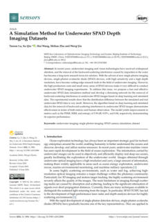
Authors: Taoran Lu, Su Qiu, Hui Wang, Shihao Zhu and
Weiqi Jin
This text presents a research solution for improving
underwater imaging using single-photon avalanche
diode (SPAD) devices. The text outlines the challenges
associated with SPAD devices, such as high production
costs and small array areas, and proposes a method to
simulate SPAD data and develop a denoising network
using deep learning to remove backward-scattering
interference. It also highlights the effectiveness of this
approach by discussing the experimental results and
improvements in specific performance metrics.


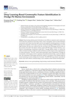
Authors:
Wenqiang Zhang, Xiaobing Chen, Xiangwei Zhou,
Jianhua Chen, Jianguo Yuan, Taibiao Zhao, and Kehui Xu
This study introduces a new dataset and a classification
model for identifying geomorphic features in dredge pit
environments using sidescan sonar (SSS) images and deep
learning methods. It aims to highlight the effectiveness
and efficiency of the new Effective Geomorphology
Classification (EGC) model, discuss the utility of transfer
learning and data augmentations, and emphasize the
value of the dataset and model for hazard monitoring and
other machine learning applications.


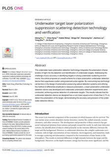
Authors:
Qiang Fu, Chao Dong, Kaikai Wang, Qingyi He, Xiansong
Gu, Jianhua Liu, Yong Zhu, Jin Duan
This text describes the development and effectiveness of a
new underwater laser polarization detection technology.
It outlines the challenges addressed by this technology,
the proposed solution, and the results of experiments
conducted to validate the device's accuracy and precision
in detecting underwater targets.


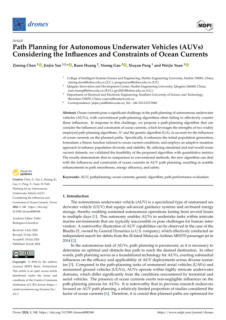
Authors:
Ziming Chen, Jinjin Yan, Ruen Huang, Yisong Gao, Xiuyan
Peng, and Weijie Yuan
The text describes a new path-planning algorithm for
autonomous underwater vehicles (AUVs) that effectively
addresses the challenges posed by ocean currents. It
outlines the limitations of conventional algorithms and
introduces a novel approach that combines elements of
the influences and constraints of ocean currents, which
leverages the strengths of two widely employed path-
planning algorithms and genetic algorithms to improve
path planning by considering ocean current influences.


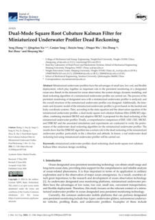
Authors:
Yang Zhang, Qingchao Xia, Canjun Yang, Ruiyin Song,
Dingze Wu, Xin Zhang, Rui Zhou, and Shuyang Ma
The intent of the text is to describe the development and
evaluation of a miniaturized underwater profiler system for
ocean observation. It outlines the advantages of such
profilers, the design and modeling process, and the
implementation of a new algorithm (DSRCKF) for dead
reckoning. The text also compares this algorithm with
others and discusses its effectiveness, particularly in certain
directions and attitudes. The intent is to inform about the
research and development process, the technical details of
the system, and the future plans for real-world testing.


Authors:
Zeyang Liang, Kai Wang, Jiaqi Zhang, and Fubin Zhang
The intent of this text is to present a study focused on
improving the positioning accuracy of autonomous
underwater vehicles (AUVs) through the development of
a novel method for visual simultaneous localization and
mapping (SLAM) in underwater environments. The text
outlines the proposed approach, which involves an
underwater multisensor fusion SLAM system based on
image enhancement, and highlights the effectiveness of
this method in reducing errors compared to other
algorithms.


Authors: Tong Liu, Sainan Zhang, and Zhibin Yu
This paper outlines the challenges current methods face
due to irregular illumination in underwater environments,
introduces a proposed solution, an underwater self-
supervised monocular depth estimation network, and
presents a new approach for improving underwater
depth estimation. This approach integrates image
enhancement and auxiliary depth information to address
issues like low-light conditions and overexposure.


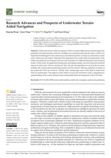
Authors: Rupeng Wang, Jiayu Wang, Ye Li, Teng Ma, and
Xuan Zhang
This document informs researchers about the current state
and future developments in the field of underwater
terrain-aided navigation (TAN) to provide a
comprehensive overview of the application background,
operating principles, technical aspects, and relevant
algorithms involved in underwater TAN, as well as to
summarize cutting-edge issues in the field.


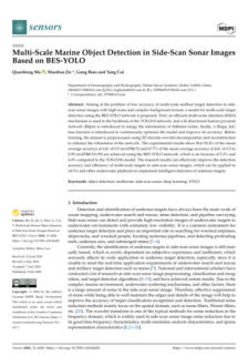
Authors: Quanhong Ma, Shaohua Jin, Gang Bian, and
Yang Cui
This document describes a proposed solution to improve
the accuracy of multi-scale seafloor target detection in
side-scan sonar images, which are challenged by high
noise and complex background textures. It outlines the
development and implementation of a model using the
BES-YOLO network, detailing the enhancements made to
the YOLOv8 network, such as the introduction of an
efficient multi-scale attention mechanism, a bi-directional
feature pyramid network, and a Shape_IoU loss function. It
also discusses the preprocessing of the dataset to enhance
network robustness and presents experimental results that
demonstrate improved detection accuracy.


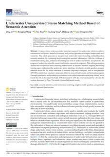
Authors: Qing Li, Hongjian Wang, Yao Xiao, Hualong
Yang, Zhikang Chi, and Dongchen Dai
This article introduces an unsupervised stereo matching
method based on semantic attention, addressing the
challenge of insufficient training data. It aims to improve
the intelligence of underwater robots and advance
scientific research and marine resource development. It
highlights the design of an adaptive double quadtree
semantic attention model and an unsupervised semantic
loss function, emphasizing the method's robustness and
improved performance metrics through evaluations.


Authors:
Prabhavathy Pachaiyappan, Gopinath Chidambaram ,
Abu Jahid, and Mohammed H. Alsharif
This study proposes a new approach to improve
underwater object detection and classification to address
challenges posed by environmental factors such as water
turbidity and variable lighting conditions by integrating
advanced imaging techniques with diffusion models. This
research aligns with Sustainable Development Goal (SDG)
14: Life Below Water, and it introduces a new imaging
technique, AIT-YOLOv7, which enhances the accuracy of
detecting and classifying underwater objects. It highlights
the methodology, the use of the TrashCan dataset for
validation, and the significant improvement in detection
accuracy compared to existing methods.


Authors: Hao Feng, Yan Huang, Jianan Qiao, Zhenyu
Wang, Feng Hu, and Jiancheng Yu
This study focuses on improving the tracking of
underwater cables using autonomous underwater
vehicles (AUVs) equipped with side-scan sonar. It aims to
address issues related to AUV motion stability and imaging
quality by proposing a new strategy involving non-myopic
receding-horizon optimization and the use of a long short-
term memory network. Also, it highlights the development
of an efficient decision-making framework to execute
these strategies in real time, and it reports on the
validation and effectiveness of the proposed method
through comparative experiments.


Authors:
Bo Wang, Jie Wang, Chen Zheng, Ye Li, Jian Cao, and
Yueming Li
This document describes a proposed solution to improve
the detection of seabed-contacting segments during
underwater pipeline operations. It outlines the challenges
faced due to weak structural features and environmental
conditions and introduces a technical solution involving a
cascade attention module and a prefusion module
integrated with a convolutional neural network. The intent
is to convey the effectiveness of these modules in
enhancing the performance of neural network models for
target detection and instance segmentation, as evidenced
by experimental results.



Click on the
octopus to return to
the top of the page


04 - Learning hybrid dynamic transformers for underwater image
super-resolution.
Authors: Xin He, Junjie Li, and Tong Jia
Underwater image super-resolution is important for
making underwater images clearer, which aids in analysis
and exploration. This paper presents an effective hybrid
dynamic Transformer (HDT-Net) for this task. It uses
dynamic local self-attention to capture details and sparse
non-local self-attention to avoid irrelevant information.
Our method outperforms previous models in both
quantitative and qualitative tests.


20 - NeuRSS: Enhancing AUV Localization and Bathymetric
Mapping With Neural Rendering for Sidescan SLAM.
Author: Yiping Xie , Jun Zhang, Nils Bore, and John
Folkesson
Implicit neural representations and neural rendering help
estimate bathymetry from sidescan sonar data. The
accuracy is affected by the positioning of underwater
vehicles. This article proposes a framework, NeuRSS, that
improves localization and bathymetric mapping using
dead reckoning and loop closures. It includes an initial
bathymetric estimate from sidescan sonar to guide further
optimization. The approach is validated with large surveys
from both surface vessels and AUVs, comparing results to
ground truth and multibeam echo sounders.


23 - Monitoring dispersal patterns sea foam injected by offshore
platforms using satellite optical multispectral imagery.
Authors: M. Tedeschi, F. Filipponi, M. Picone, A. Grillo, M.
Gabellini, G. Trinchera
Liquefied natural gas regasification plants can use
seawater to convert gas from liquid to gas. An initiative
was launched to identify "foams" created during this
process using satellite data. The sea foam detection
procedure involves cloud masking, mask refinement,
detection, and spatial filtering. Results from 2015-2022
demonstrated the procedure's effectiveness in identifying
sea foam dispersal patterns, which can be applied to
other remote sensing imagery.


24 - RUSNet: Robust fish segmentation in underwater videos based
on adaptive selection of optical flow
Authors: Peng Zhang, Zongyi Yang, Hong Yu, Wan Tu,
Chencheng Gao, and Yue Wang
Fish segmentation in underwater videos is important for
tracking fish populations and surveying fishery resources.
Researchers have worked on improving this process using
underwater optical flow. However, existing methods
struggle with non-fish motions, prompting the
development of RUSNet, a new segmentation network.
This model includes a quality evaluation module for
optical flow, a decoder to refine fish localization, and a
selective fusion method for predictions. Testing showed
RUSNet outperformed current models, offering a reliable
solution for fish segmentation in challenging underwater
environments.


28 - Cooperative SLAM Algorithm for Multi-AUV Underwater
Exploration and Mapping
Author: Rongren Wu
SLAM (Simultaneous Localisation and Mapping) is crucial
for mapping unknown deep-sea areas. This paper
suggests an AUV cluster SLAM algorithm to enhance
mapping efficiency. It has three parts: (1) a multi-beam
sonar image processing algorithm that filters dynamic
points and redundant information; (2) SLAM using data
from DVL, IMU, and DM based on a Rao-Blackwellised
particle filter; and (3) an iUSBL system for cooperative
positioning of AUVs. This algorithm significantly improves
mapping efficiency and stabilizes SLAM performance by
reducing errors from dynamic points.


27 - An overview of industrial image segmentation using deep
learning models.
Authors: Guina Wang, Zhen Li, Guirong Weng, Yiyang
Chen
Image segmentation is important in AI and computer
vision, used for tasks like industrial picking and video
surveillance. This review covers traditional and deep
learning segmentation algorithms, including their
integration. It discusses various label frameworks and
compares methods on benchmark datasets. Lastly, it
addresses challenges and opportunities for future
research.


25 - Infrared and visible image fusion based on multi-level detail
enhancement and generative adversarial network.
Authors: Xiangrui Tian, Xiaohan Xianyu, Zhimin Li, Tong
Xu, Yinjun Jia
Infrared and visible image fusion technology is useful in
target detection and tracking. Current methods often
miss the connection between local and global features,
leading to image blurring and loss of detail. This paper
proposes a GAN-based method that enhances edge
information and improves feature extraction.
Experimental results show better texture detail and
superior performance compared to other methods.


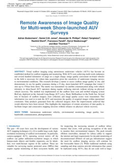
26 - Remote Awareness of Image Quality for Multi-week Shore-
launched AUV Surveys
Authors: Adrian Bodenmann, Daniel O.B. Jones,
Alexander B. Phillips, Robert Templeton, Rashiid
Sherif, Francesco Fanelli, Darryl Newborough,
and Blair Thornton
Visual seafloor imaging using autonomous underwater
vehicles (AUVs) is now a common method for mapping
and monitoring. This research creates a new way to
assess image quality on-site during a 21-day AUV
campaign. AUV operators received quality scores via
satellite to improve data collection.
