Underwater mapping 1980 - 2021


Authors:
John O. Klepsvik, Hans Olav Torsen
This paper, published in 1989, reviews the underwater
mapping techniques available during this period and their
expected evolution.


Author: Mark Rognstad
Date of publication: 1992
The HIG Acoustic Wide Angle Imaging Instrument,
Mapping Researcher 1 (HAWAII MR1) was an ocean
floor mapping sonar designed and built at the Hawaii
Institute of Geophysics of the University of Hawaii. Towed
behind a ship at a depth of 100 meters, it could measure
acoustic backscatter reflectivity and bathymetry over a
swath up to 25 km wide in all ocean depths.


Authors:
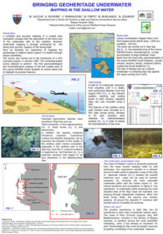
M Vacchi, A Rovere, V Parravicini, M Firpo, M. Burlando, N.
Zouros
Date of publication: 2008
A complete and accurate mapping of a coastal area
necessarily includes the description of the shore and the
underwater side of the coastline. However, underwater
mapping is strongly constrained by diving time and
logistics. This presentation illustrates an experience of
mapping the geoheritage in shallow waters of the Lesvos
Petrified Forest Geopark of Lesvos island using snorkeling.


Authors:
JSilvia Silva da Costa Botelho, Paulo Drews Jr, & Gabriel
Leivas.
Date of publication: 2009
This paper proposes an approach to visual odometry and
mapping with underwater vehicles. Autonomous
Underwater Vehicles (AUVs) can carry visual inspection
cameras. Besides serving the activities of inspection and
mapping, the captured images can also be used to aid
navigation and localization of the robots. Visual odometry
is the process of determining the position and orientation
of a robot by analyzing the associated camera images.


Authors:
Armagan Elibol, Nuno Gracias, Rafael Garcia, Art Gleason,
Brooke Gintert, Diego Lirman and R. Pam Reid.
Date of publication: 2012
This paper proposes a generic framework for image
mosaicing to obtain the topology and estimate the best
possible trajectory. Innovative aspects include using a fast
image similarity criterion combined with a minimum
spanning tree (MST) solution to obtain a tentative
topology. This topology is improved by attempting image
matching over the more substantial overlap evidence
pairs.


Authors:
B. Douillard, N. Nourani-Vatani, M. Johnson-Roberson, S.
Williams, C. Roman, O. Pizarro, I. Vaughn, G. Inglis.
Date of publication: 2012
This paper presents a method for segmenting three-
dimensional scans of unstructured underwater terrains.


Authors:
Gerd Niedzwiedz, Dirk Schories
Date of publication: 2013
The quality of scientific sampling, monitoring, or
underwater mapping depends more and more on the
exact allocation of place and time to the object of interest.
That might be the sample itself or the visual
documentation of the object of interest by high-resolution
images, video sequences, or underwater mapping. Ideally,
these data are accompanied by other geo-referenced
physical and chemical datasets. In this document, written
in 2012 - 2013, the authors focus on cable towed
solutions and also discuss other promising alternatives that
might be on the market.


Authors:
Alistair Dobke, Joshua Vasquez, Lauren Lieu, Ben
Chasnov, Christopher Clark, Ian Dunn, Zoe, & J.
Wood.
Date of publication: 2013
This paper presents a method for creating three-
dimensional maps of underwater cisterns and wells using
a submersible robot equipped with two scanning sonars
and a compass. Previous work in this area utilized a
particle filter to perform offline simultaneous localization
and mapping (SLAM) in two dimensions using a single
sonar. This work utilizes scan matching and incorporates
an additional sonar that scans in a perpendicular plane.


Authors:
A. Ch. Kapoutsis, G. Salavasidis, S. A. Chatzichristos, J.
Braga, J. Pinto, J. B. Sousa, Elias B. Kosmatopoulos.
Date of publication: 2015
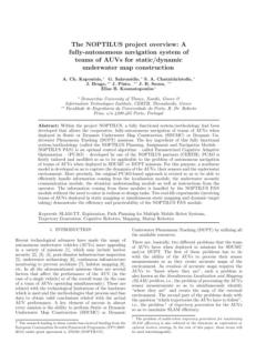
The project NOPTILUS, was a system/methodology
developed to allow the fully-autonomous navigation of
teams of AUVs deployed in Static or Dynamic Underwater
Map Construction (SDUMC) or Dynamic Underwater
Phenomena Tracking (DUPT) missions.


Authors:
Alista
Date of publication: 2016
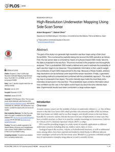
The goal of this study is to generate high-resolution
seafloor maps using a Side-Scan Sonar(SSS).


Authors:
Athanasios Ch. Kapoutsis, Savvas A. Chatzichristofs, Lefteris
Doitsidis, João Borges de Sousa, Jose Pinto, Jose
Braga, Elias B. Kosmatopoulos.
Date of publication: 2016
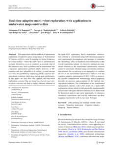
This paper discusses the problem of autonomous
exploration of unknown areas using Autonomous
Vehicles that have to navigate to construct an accurate
map of the unknown area.


Author: Mingxi Zhou
Date of publication: 2017
A technology of AUV-based underwater iceberg-profiling
is evaluated in this paper.
An iceberg-profiling simulator is constructed to analyze
underwater iceberg-profiling missions. The operation
accuracy is compared with conventional methods of
deploying sonar profilers around icebergs. Beyond the
simulation, a guidance, navigation, and control (GNC)
system is designed to guide the vehicle traveling around
the iceberg at a standoff distance.


Authors: Ricard Campos, Rafael Garcia
Date of publication: 2017
Owing to the many possible errors that may occur during
real-world mapping, point set maps often present a
considerable amount of outliers and significant levels of
noise. This paper gives two robust surface reconstruction
techniques dealing with corrupted point sets without
resorting to any prefiltering step. They are based on
building an unsigned distance function, discretely
evaluated on an adaptive tetrahedral grid, and defined
from an outlier-robust splat representation.


Authors:
Tomasz Łuczynski,, Tobias Fromm, Shashank Govindaraj,
Christian A. Mueller, and Andreas Birk.
Date of publication: 2017
ROV operations are expensive, and there is an urge to
improve their efficiency and speed. The EU project
”Effective Dexterous ROV Operations in the presence of
Communications Latencies (DexROV)” proposes a solution
to those needs by developing a set of hardware and
software tools to support the teleoperation of ROVs over a
satellite link, i.e., from remote locations, including offshore
sites.


Authors: Hendra Kurnia Febriawan
Date of publication: 2018
The mapping of piers can use several methods such as
satellite imagery, aerial photographs, terrestrial
measurements as well as seafloor imagery. However,
seabed mapping under piers is one of the challenges
encountered to map and monitor those structures. Single-
beam echosounder, which is a conventional depth
measurement equipment, cannot give explicit seabed
imagery. Ordinary multibeam echosounder equipment
also cannot produce detailed seabed imagery. Along with
the development of technology, Multibeam echosounder
experiences a rapid development, one of them is high-
resolution multibeam echosounder which has high depth
resolution. The high-resolution multibeam can produce
dense and detail seabed imagery so it can be used for
underwater pier mapping.


Authors:
E. Nocerino, F. Menna, B. Chemisky, P. Drap
Date of publication: 2020
Image mosaicing is a proper procedure to visualize large
underwater mapped areas, often employed in
conjunction with autonomous underwater vehicles
(AUVs) and ROVs.
In this work, the authors propose using a modified image
mosaicing algorithm that coupled with image-based real-
time navigation and mapping algorithms provides two
visual navigation aids.


Authors:
Agung Budi Cahyono, Andreas Catur Wibisono, Dian
Saptarini, Rizki Indra Permadi, Yanto Budisusanto,
Husnul Hidayat.
Date of publication: 2020
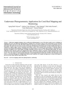
Underwater photogrammetry is one of the latest trends in
survey techniques in mapping coral reefs. The underwater
photogrammetry technique uses a non-metric camera in
the 3D reconstruction of coral reefs that will produce
photo maps up to in 3D. This article explains the process
of data acquisition to create coral reef photo maps.


Authors:
Bashar Elnashef, Sagi Filin
Date of publication: 2020
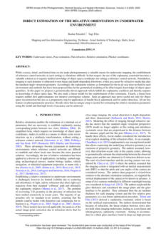
While accuracy, detail, and limited-time on-site make
photogrammetry a valuable means for underwater
mapping, establishing reference control networks in such
settings is frequently difficult. In that respect, using the
coplanarity constraint becomes a practical solution as it
requires neither knowledge of object space coordinates
nor setting a reference control network. Nevertheless,
imaging in such domains is subjected to non-linear and
depth-dependent distortions caused by refractive media
that alter the standard single viewpoint geometry.
Accordingly, the coplanarity relation, as formulated for the
in-air case, does not hold in such an environment, and
methods proposed thus far for geometrical modeling of its
effect require knowledge of object-space quantities. In this
paper, the authors propose a geometrically-driven
approach that fulfills the coplanarity condition and
requires no knowledge of object space data.


Authors:
Raihanah Rusmadi, Rozaimi Che Hasan
Date of publication: 2020
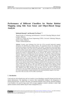
The objective of this study is to determine the accuracy of
habitat maps derived using side-scan sonar data, Object-
based Image Analysis (OBIA) and five different classifier
algorithms; Support Vector Machine (SVM), Random
Forest (RF), k-Nearest Neighbour (k-NN), Decision Tree,
and Bayes.


Authors:
Vijaya Baskar Veeriayan, & V. Rajendran
Date of publication: 2020
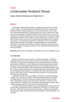
Underwater ambient noise is primarily background noise,
which functions time, location, and depth. The
background baseline of the noise in the ocean is
represented by ambient noise generated from the ocean
surface due to wind and rain.
This understanding of ambient noise under various
conditions will help to improve marine instruments' signal-
to-noise ratio (SNR).


Authors:
Bohan Liu, Zhaojun Liu, Shaojie Men, Yongfu Li, Zhongjun
Ding, Jiahao He, and Zhigang Zhao.
Date of publication: 2020
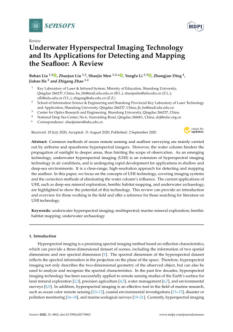
This paper discusses the concepts of underwater
hyperspectral imaging (UHI) technology, covering
imaging systems, and the correction methods of
eliminating the water column’s influence. The current
applications of UHI, such as deep-sea mineral exploration,
benthic habitat mapping, and underwater archaeology,
are highlighted to show the potential of this technology.
This review provides an introduction and overview for
those working in the field and offers a reference for those
searching for literature on UHI technology.



Authors:
Chloe A. Game, & Michael B. Thompson
Date of publication: 2020
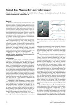
Imagery is a preferred tool for environmental surveys
within marine environments, particularly in deeper waters,
as it is non-destructive compared to traditional sampling
methods. However, underwater illumination effects limit
its use by causing extremely varied and inconsistent image
quality. Therefore, it is often necessary to pre-process
images to improve the visibility of image features and
textures and standardize their appearance. Tone mapping
is a simple and effective technique to enhance contrast
and manipulate the brightness distributions of images.



Authors:
B. Chemisky, E. Nocerino, F. Menna, M.M. Nawaf, P. Drap.
Date of publication: 2021
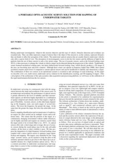
This document describes a low-cost, multi-sensor,
underwater survey solution for the identification, tracking,
and 3D mapping of targets. The authors also focus on
calibrating the sensors.



Authors:
Qi Zhao, Zhichao Xin, Zhibin Yu, and Bing Zheng
Date of publication: 2021
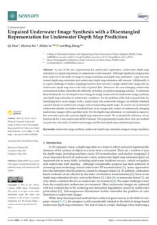
This document describes the development of an image-to-
image framework for underwater image synthesis and
depth map estimation in underwater conditions.


Authors:
F Muhammad, Poerbandono, & H Sternberg
Date of publication: 2021
This paper discusses the small-scale testing of a 3D
underwater positioning task. The authors analyse the
setting and performance of a standard web camera used
for such a task while fully submerged.


Authors:
A A Timoshenko, A V Zuev, & E S Mursalimov.
Date of publication: 2021
The paper describes an algorithm developed for creating
one whole raster photo map of the seabed from images
obtained from vertically downward cameras of
autonomous underwater vehicles (AUV) using tile
graphics.


Authors:
Chloe A. Game, Michael B. Thompson, and Graham D.
Finlayson.
Date of publication: 2021
Image enhancement is often used to alleviate the low
contrast, blurring, and colour reduction effects common
in underwater imagery. Tone Mapping is a technique that
improves the quality of the image to a more desirable
tonal distribution. This document discusses new
algorithms that simplify manipulations and increase the
conspicuousness of pictures based on this technology.


Authors:
S. Raghuram, Sai Anoop Sadineni.
Date of publication: 2021
This paper discusses techniques to produce perceivable
maps of the shallow seabed using AUVs, the Scale-
Invariant Feature Transform(SIFT) algorithm for collecting
images' features, and the Brute-force matcher to match
the pictures producing 2-dimensional rectangular maps
by applying the proposed algorithm.


Authors:
Kai Sun, Weicheng Cui, and Chi Chen
Date of publication: 2021
This paper summarizes the ocean sensing technologies
applied in some critical underwater scenarios, including
geological surveys, navigation and communication,
marine environmental parameters, and underwater
inspections.
To contain as many submersible-based sensors as possible,
the authors make a trade-off on breadth and depth. To
finish, they try to predict the development trend of
underwater sensor technology based on the future ocean
exploration requirements.


Authors:
Giacomo Montereale Gavazzi, Danae Athena Kapasakali,
Francis Kerchof, Samuel Deleu, Steven Degraer, & Vera
Van Lancker.
Date of publication: 2021
This document discusses new scientifically validated
methodologies for the quantitative spatial demarcation of
Subtidal Natural Hard Substrates (SNHS) occupancy by
rich benthic communities using high-resolution
Multibeam Echosounder (MBES) depth and backscatter
data and derivates, underwater imagery (UI) by video
drop-frame, and grab sediment samples, all acquired
within Belgian offshore waters.


Authors:
Daniele Ventura, Luca Castoro, Gianluca Mancini,
Edoardo Casoli, Daniela Silvia Pace, Andrea Belluscio,
Giandomenico Ardizzone.
Date of publication: 2021
This article explains how, using structure from motion
photogrammetric workflow, the authors produced high
spatial resolution 2D raster maps and 3D outputs such as
dense points clouds and textured meshes of an
underwater seagrass restoration site.


Authors:
Gideon Billings, Richard Camilli, & Matthew Johnson-
Roberson.
Date of publication: 2021
This paper presents a novel visual scene mapping method
for Underwater Vehicle Manipulator Systems (UVMSs),
with specific emphasis on robust mapping in natural
seafloor environments.


Authors:
Jarina Raihan, P.G. Emeroylariffion Abas, & Liyanage C. De
Silva.
Underwater images are very much different from images
taken on land due to a higher disturbance ratio caused by
the presence of a water medium between the camera
and the target object.
These distortions and noises result in unclear details and
reduced output image quality. An underwater image
restoration method is proposed in this paper, which uses
blurriness information, background light neutralization
information, and red-light intensity to estimate depth.


Authors: Emily J. Chua, William Savidge, Timothy Short,
Andres M. Cardenas-Valencia, and Robinson
W. Fulweiler.
Underwater mass spectrometry (UMS) has drastically
improved our capability to monitor a broad suite of
gaseous compounds in the aquatic environment.
This study provides an overview of the progress made
from the nineties to the present day, particularly on the
approaches undertaken by various research groups in
developing mass spectrometers. It also provides examples
of how underwater mass spectrometers have been used
and the future trends.


Authors: Zhengliang Hu, Jinxing Huang, Pan Xu,
Mingxing Nan, Kang Lou, and Guangming Li.
Fiber-optic hydrophones have received extensive
research interest due to their advantage in ocean
underwater target detection. This study introduces the
kernel extreme learning machine (K-ELM) to source
localization in underwater ocean waveguides.
As a data-driven machine learning method, K-ELM does
not need a prior environment information compared to
the conventional method of match field processing. The
acoustic source localization is considered a supervised
classification problem, and the normalized sample
covariance matrix formed over several snapshots is utilized
as an input.



Authors: Tiago C. A. Oliveira, Ying-Tsong Lin, and
Michael B. Porter.
Three-dimensional (3D) effects can profoundly influence
underwater sound propagation in shallow-water
environments, affecting the underwater soundscape.
Various geological features and coastal oceanographic
processes can cause horizontal reflection, refraction, and
diffraction of underwater sound. This study explores the
ability of a parabolic equation (PE) model to simulate
sound propagation in the highly complicated shallow
water environment of Long Island Sound (United States
east coast) is investigated.


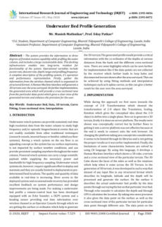
Authors: Manish Mathnikar & Uday Patkar
The system described provides information in three
degrees of freedom motion capability while profiling the
water column and includes large customizable data. This
docking infrastructure enables long-term resident
functionality of the system. Operational variables include
ascent rate, descent rate, depth range, and profiling
frequency.


Authors: Joonas Syrjälä, Risto Kalliola, and Jukka Pajala
Shipping is the most pervasive source of anthropogenic
underwater continuous noise and local intermittent noise.
This study focused on the separation of anthropogenic
intermittent noise from dynamic background noise in the
Gulf of Finland using an adaptive threshold level (ATL)
technique.



Authors:
Tom W. Bell, Nick J. Nidzieko, David A. Siegel, Robert J.
Miller, Kyle C. Cavanaugh, Norman B. Nelson, Daniel C.
Reed, Dmitry Fedorov, Christopher Moran, Jordan N.
Snyder, Katherine C. Cavanaugh, Christie E. Yorke, and
Maia Griffith
This document evaluates the efficacy of remote sensing
from satellites and aerial and underwater autonomous
vehicles as potential monitoring platforms for offshore kelp
aquaculture farms.



Authors:
Qi Zhao, Ziqiang Zheng, Huimin Zeng, Zhibin Yu,
Haiyong Zheng, and Bing Zheng
Underwater environment complexity results that depth
estimation in a data-driven manner is still a challenging
task. To tackle this problem, The authors propose a system
including two modules for underwater image synthesis
and underwater depth map estimation.



Authors:
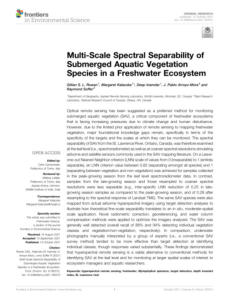
Gillian S. L. Rowan, Margaret Kalacska, Deep Inamdar, J.
Pablo Arroyo-Mora, and Raymond Soffer.
Optical remote sensing has been suggested as a preferred
method for monitoring submerged aquatic vegetation
(SAV). However, due to the limited prior application of
remote sensing to mapping freshwater vegetation, major
foundational knowledge gaps remain, specifically in terms
of the specificity of the targets and the scales at which
they can be monitored.

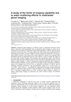
Authors: Yuliang Li, Mingliang Chen, Yuliang qi,
Jinquan qi, Chenjin Deng, Longkun Du,
Zunwang Bo, Chang Han, Zhihua Mao, Yan
He, Xuehui Shao, Shensheng Han
Underwater ghost imaging is a technique that involves
the use of light to capture images of objects in
underwater environments. This paper discusses a
theoretical and experimental study of underwater ghost
imaging is carried out by combining the description of
underwater optical field transmission with the inherent
optical parameters of the water body.


Click on the
octopus to return to
the top of the page

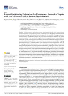
Authors: Xiyun Ge, Hongkun Zhou, Junbo Zhao, Xiaowei
Li, Xinyu Liu, Jin Li, and Chengming Luo
This paper proposes a novel method for enhancing
underwater location accuracy by combining distributed
estimation and particle swarm optimization to address
substantial errors arising from uncertain underwater
signals and sampling. It utilizes a unique technique to
correct errors in underwater sound measurements caused
by anomalous readings and missing data. The method
also develops a way to estimate underwater positions in
one go without constraints, based on how signals are
mapped from arrays to responders.



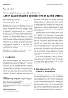
Authors:
Thomas Scholz, Martin Laurenzis, and Frank Christnacher
This document overviews advancements and applications
in underwater laser-based imaging systems and data-
processing techniques. It provides information about
integrating these systems into platforms like remote-
operated vehicles (ROVs) and autonomous underwater
vehicles (AUVs) and highlights the importance of
environmental conditions on imaging performance. It also
seeks to present advanced 3D laser oblique scanning
techniques and contrast enhancements for gated viewing
based on experimental findings.


Authors:
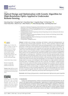
Chun-Feng Chou, Cheng-Mu Tsai, Chao-Hsien Chen,
Yung-Hao, Wong, Yi-Chin Fang, Chan-Chuan Wen, Hsiao-
Yi Lee, Hien-Thanh Le, Shun-Hsyung Chang, and Hsing-
Yuan Liao
This text describes the development and advantages of a
novel underwater camera designed for photogrammetry
in various fields such as biology, archaeology, and
industry. It explains the challenges of underwater
photography due to different optical phenomena and
how the new camera design addresses these issues,
highlighting the use of prime and zoom lenses, the
optimization for various water depths and spectra, and the
application of a genetic algorithm to reduce chromatic
aberration.


Authors:
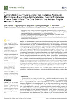
Nikos Georgiou, Xenophon Dimas, Elias Fakiris, Dimitris
Christodoulou, Maria Geraga, Despina Koutsoumpa,
Kalliopi Baika, Pari Kalamara, George Ferentinos, and
George Papatheodorou Giaco
This study focuses on the documentation and analysis of
underwater cultural heritage (UCH) at Aegina Island,
Greece, to support sustainable maritime development by
using a multidisciplinary, non-intrusive approach to gather
detailed geomorphological and archaeological
information. It highlights the methods used, such as
marine geophysical mapping, seafloor segmentation, and
photogrammetry, to document and analyze submerged
structures.


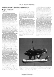
Authors: Maurice A.Tivey, Woods Hole, Albert Bradley,
Dana Yoerger, Rodney Catanach, Alan
Duester, Steve Liberatore, and Hanu Singh
This text provides a presentation of the various types of
underwater vehicles in service during the 90s that, like
many documents published during this period, should be
considered a historical reference.


03 - Autonomous Underwater Vehicle Maps Seafloor


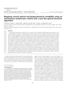
04 - Mapping coastal optical and biogeochemical variability using
an autonomous underwater vehicle and a new bio-optical
inversion Algorithm
Authors: Catherine A. Brown, Yannick Huot, Michael J.
Purcell, John J. Cullen, and Marlon R. Lewis
Autonomous underwater vehicles (AUVs) can map water
conditions at high spatial and temporal resolution,
including under cloudy conditions. However, harnessing
their full potential for oceanographic research requires
innovative sampling and data processing techniques,
especially in shallow littoral environments. This study
describes a passive radiometer, which uses one optical
sensor at depth to characterize variability in underwater
clarity and coastal seawater constituents.


13 - Generation of High-resolution Three-dimensional
Reconstructions of the Seafloor in Color using a Single Camera
and Structured Light
Authors: Adrian Bodenmann, Tamaki Ura, and Blair
Thornton
This paper presents a three-dimensional mapping
method based on light sectioning for capturing structure
and color from seafloor images. The method offers high
resolution bathymetry and is simple to setup and
process. The system has been deployed on 11 cruises to
survey manganese-rich crust deposits on the Pacific's
Takuyo #5 seamount. The data collected from one cruise
is presented in the paper.
Authors: Sandra Sendra, Jaime Lloret, Jose Miguel
Jimenez, and Joel J.P.C. Rodrigues
This paper presents a study on the behavior of
electromagnetic waves (EM) in freshwater underwater
environments. It discusses the minimum requirements for
video delivery, measures the maximum distance between
nodes, and analyzes the relationship between parameters
like data transfer rate, signal modulations, working
frequency, and water temperature. The results show that
certain combinations of working frequency, modulation,
transfer rate, and temperature offer better results,
demonstrating that short communication distances with
high data transfer rates are feasible.


14 - Underwater Communications for Video Surveillance Systems at
2.4 GHz


21 - Acoustic-telemetry payload control of an autonomous
underwater vehicle for mapping tagged fish
Author: Tom Dodson, Thomas M. Grothues, John H.
Eiler, Joseph A. Dobarro, Rahul Shome
Autonomous underwater vehicles (AUVs) have improved
their performance in tracking marine animals, but they
struggle to accurately map the distribution of multiple
tagged fish. A new payload control software, Synthetic
Aperture Override (SAOVR), allows AUVs to navigate with
favorable trajectories for solving tag locations. SAOVR
checks constraints and executes permitted maneuvers,
ensuring high predictability in AUV behavior. This system
is beneficial for fish telemetry in challenging environments
like fjords or reefs. Further modeling can improve
template design for different fish species.


22 - Selected-Mapping Peak-to-Average Power Reduction Method
with Orthogonal Pilot Sequences in Underwater Acoustic
OFDM System Without Side Information
Authors: Qiao Gang, Xing Siyu, and Zhou Feng
This document proposes a novel Selected-mapping (SLM)
Peak-to-average power ratio (PAPR) reduction scheme for
Underwater Acoustic (UWA) OFDM systems. This scheme
uses orthogonal comb pilot sequences to represent
distinct phase sequences, reducing PAPR by almost 0.5dB
and improving Bit error ratio (BER) performance. Field
experimental results show the scheme can differentiate
phase sequences.


53 - Autonomous navigation in unknown environment using sliding
mode SLAM and genetic algorithm
Authors: Salvador Ortiz, Wen Yu
In this paper, sliding mode control is combined with the
classical simultaneous localization and mapping (SLAM)
method. This combination can overcome the problem of
bounded uncertainties in SLAM. With the help of genetic
algorithm, our novel path planning method shows many
advantages compared with other popular methods.

Authors: Joseph H. Tarnecki, William F. Patterson
This article presents a novel method for retrieving subsea
instruments using a commercially available mooring hook
integrated with a mini remotely operated vehicle (ROV).
This method effectively circumvents the limitations of diver
retrieval and the expense of acoustic release technology.
Tested in various marine environments, the method
achieved a 100% success rate in retrieving equipment
from depths ranging from 28 to 80 meters in the Gulf of
Mexico, demonstrating its potential applicability for a
variety of underwater recovery operations.


